
Teddington topographic map
Interactive map
Click on the map to display elevation.
About this map
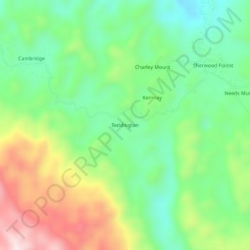
Name: Teddington topographic map, elevation, terrain.
Location: Teddington, Portland, Surrey County, Jamaica (18.11700 -76.41099 18.15700 -76.37099)
Average elevation: 256 m
Minimum elevation: 85 m
Maximum elevation: 544 m