
Marlton topographic map
Interactive map
Click on the map to display elevation.
About this map
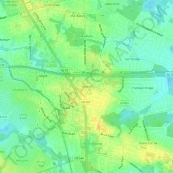
Name: Marlton topographic map, elevation, terrain.
Location: Marlton, Burlington County, New Jersey, 08053-2171, USA (39.87122 -74.94183 39.91122 -74.90183)
Average elevation: 27 m
Minimum elevation: 16 m
Maximum elevation: 39 m