
Canal de Suez topographic map
Interactive map
Click on the map to display elevation.
About this map
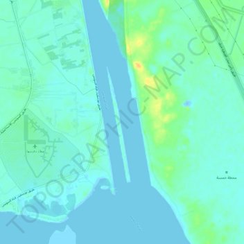
Name: Canal de Suez topographic map, elevation, terrain.
Location: Canal de Suez, Ismailía, الإسماعيلية, Egipto (30.40190 32.34999 30.45217 32.36501)
Average elevation: 6 m
Minimum elevation: -25 m
Maximum elevation: 29 m
Other topographic maps
Click on a map to view its topography, its elevation and its terrain.