
Stark County topographic map
Interactive map
Click on the map to display elevation.
About this map
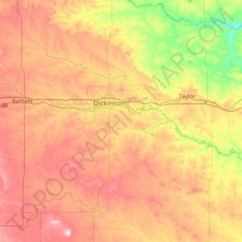
Name: Stark County topographic map, elevation, terrain.
Location: Stark County, North Dakota, United States (46.63052 -103.23124 47.01248 -102.09380)
Average elevation: 765 m
Minimum elevation: 582 m
Maximum elevation: 1,012 m