
Thank you for supporting this site ❤️
Make a donation
Make a donation
Bad Nieuweschans topographic map
Click on the map to display elevation.
Thank you for supporting this site ❤️
Make a donation
Make a donation
About this map
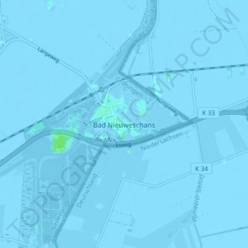
Name: Bad Nieuweschans topographic map, elevation, terrain.
Location: Bad Nieuweschans, Groningen, Nederland, 9693, Nederland (53.15997 7.18941 53.19997 7.22941)
Average elevation: -1 m
Minimum elevation: -5 m
Maximum elevation: 6 m
Thank you for supporting this site ❤️
Make a donation
Make a donation