
Thank you for supporting this site ❤️
Make a donation
Make a donation
Amu Darya topographic map
Click on the map to display elevation.
Thank you for supporting this site ❤️
Make a donation
Make a donation
About this map
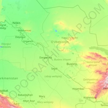
Name: Amu Darya topographic map, elevation, terrain.
Location: Amu Darya, Turkmenistan (36.92712 59.12784 44.05389 68.30588)
Average elevation: 262 m
Minimum elevation: -6 m
Maximum elevation: 4,069 m
Thank you for supporting this site ❤️
Make a donation
Make a donation