
Hobson topographic map
Interactive map
Click on the map to display elevation.
About this map
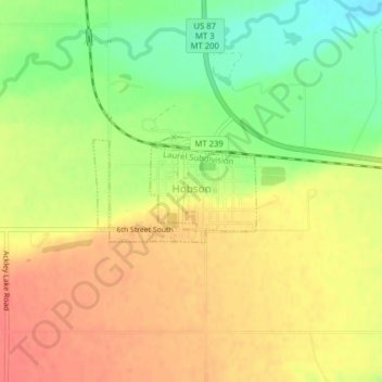
Name: Hobson topographic map, elevation, terrain.
Location: Hobson, Judith Basin County, Montana, 59452, United States (46.99644 -109.88386 47.00370 -109.86695)
Average elevation: 1,250 m
Minimum elevation: 1,217 m
Maximum elevation: 1,274 m