
Thank you for supporting this site ❤️
Make a donation
Make a donation
Morropon topographic map
Click on the map to display elevation.
Thank you for supporting this site ❤️
Make a donation
Make a donation
About this map
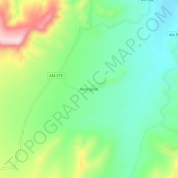
Name: Morropon topographic map, elevation, terrain.
Location: Morropon, Bagua Grande, Utcubamba, Amazonas, Perú (-5.77115 -78.55900 -5.73115 -78.51900)
Average elevation: 562 m
Minimum elevation: 454 m
Maximum elevation: 773 m
Thank you for supporting this site ❤️
Make a donation
Make a donation