
Thank you for supporting this site ❤️
Make a donation
Make a donation
Horohoro topographic map
Click on the map to display elevation.
Thank you for supporting this site ❤️
Make a donation
Make a donation
About this map
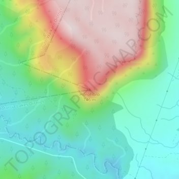
Name: Horohoro topographic map, elevation, terrain.
Location: Horohoro, Rotorua Lakes District, Waikato, New Zealand (-38.27321 176.12922 -38.27311 176.12932)
Average elevation: 509 m
Minimum elevation: 314 m
Maximum elevation: 820 m
Rotorua Lakes District trails, hiking, mountain biking, running and outdoor activities
Thank you for supporting this site ❤️
Make a donation
Make a donation