
Thank you for supporting this site ❤️
Make a donation
Make a donation
Donlan topographic map
Click on the map to display elevation.
Thank you for supporting this site ❤️
Make a donation
Make a donation
About this map
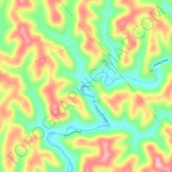
Name: Donlan topographic map, elevation, terrain.
Location: Donlan, Gilmer County, West Virginia, 26384, United States (38.93870 -80.69704 38.97870 -80.65704)
Average elevation: 313 m
Minimum elevation: 226 m
Maximum elevation: 410 m
Thank you for supporting this site ❤️
Make a donation
Make a donation
Other topographic maps
Click on a map to view its topography, its elevation and its terrain.