
Thank you for supporting this site ❤️
Make a donation
Make a donation
Deer Creek topographic map
Click on the map to display elevation.
Thank you for supporting this site ❤️
Make a donation
Make a donation
About this map
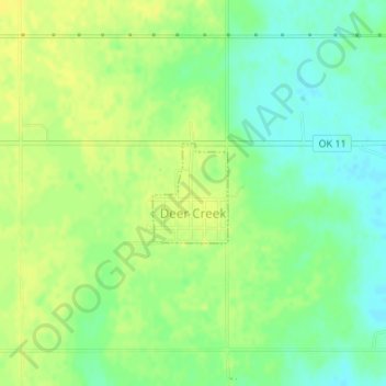
Name: Deer Creek topographic map, elevation, terrain.
Location: Deer Creek, Grant County, Oklahoma, 74636, United States (36.80373 -97.52302 36.81072 -97.51645)
Average elevation: 329 m
Minimum elevation: 318 m
Maximum elevation: 337 m
Thank you for supporting this site ❤️
Make a donation
Make a donation