
Khao Hua Chang topographic map
Interactive map
Click on the map to display elevation.
About this map
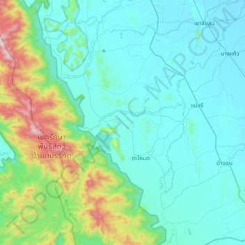
Name: Khao Hua Chang topographic map, elevation, terrain.
Location: Khao Hua Chang, Phatthalung Province, Thailand (7.17213 99.86805 7.49213 100.18805)
Average elevation: 206 m
Minimum elevation: 2 m
Maximum elevation: 1,211 m