
Barangay 79 topographic map
Interactive map
Click on the map to display elevation.
Barangay 79 topographic map, elevation, terrain
About this map
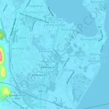
Name: Barangay 79 topographic map, elevation, terrain.
Location: Barangay 79, Tacloban, Eastern Visayas, 6500, Philippines (11.18134 124.98826 11.22134 125.02826)
Average elevation: 5 m
Minimum elevation: -2 m
Maximum elevation: 148 m
Other topographic maps
Click on a map to view its topography, its elevation and its terrain.