
Thank you for supporting this site ❤️
Make a donation
Make a donation
Cone Peak topographic map
Click on the map to display elevation.
Thank you for supporting this site ❤️
Make a donation
Make a donation
About this map
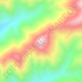
Name: Cone Peak topographic map, elevation, terrain.
Location: Cone Peak, Flathead County, Montana, United States (47.64961 -113.27873 47.64971 -113.27863)
Average elevation: 1,819 m
Minimum elevation: 1,498 m
Maximum elevation: 2,202 m
Thank you for supporting this site ❤️
Make a donation
Make a donation
Other topographic maps
Click on a map to view its topography, its elevation and its terrain.
Thank you for supporting this site ❤️
Make a donation
Make a donation
Thank you for supporting this site ❤️
Make a donation
Make a donation