
Camp One topographic map
Click on the map to display elevation.
About this map
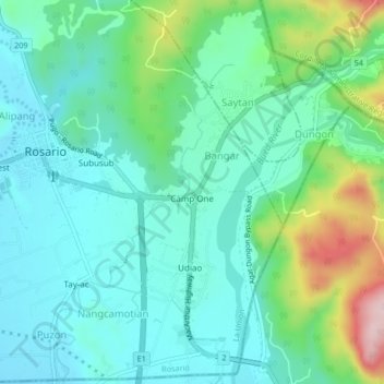
Name: Camp One topographic map, elevation, terrain.
Location: Camp One, La Union, Ilocos Region, 2506, Philippines (16.20573 120.48361 16.24573 120.52361)
Average elevation: 186 m
Minimum elevation: 115 m
Maximum elevation: 408 m