
Bashi topographic map
Interactive map
Click on the map to display elevation.
About this map
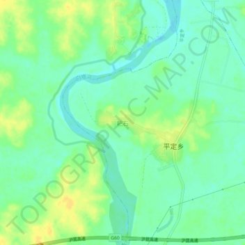
Name: Bashi topographic map, elevation, terrain.
Location: Bashi, Pingding, Yujiang District, Yingtan, Jiangxi, China (28.27800 116.85240 28.31800 116.89240)
Average elevation: 32 m
Minimum elevation: 21 m
Maximum elevation: 46 m