
Highway Hills topographic map
Interactive map
Click on the map to display elevation.
About this map
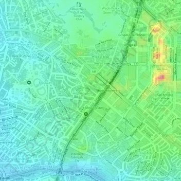
Name: Highway Hills topographic map, elevation, terrain.
Average elevation: 31 m
Minimum elevation: 4 m
Maximum elevation: 100 m
Other topographic maps
Click on a map to view its topography, its elevation and its terrain.
Plainview
Plainview, Mandaluyong, Eastern Manila District, Metro Manila, Philippines
Average elevation: 14 m