
Santa Fe topographic map
Interactive map
Click on the map to display elevation.
About this map
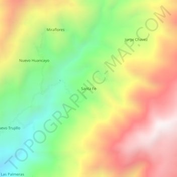
Name: Santa Fe topographic map, elevation, terrain.
Location: Santa Fe, San José de Lourdes, San Ignacio, Cajamarca, Pérou (-5.03895 -78.89135 -4.99895 -78.85135)
Average elevation: 1,860 m
Minimum elevation: 1,281 m
Maximum elevation: 2,484 m