
Barringer topographic map
Interactive map
Click on the map to display elevation.
About this map
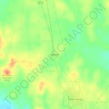
Name: Barringer topographic map, elevation, terrain.
Location: Barringer, Clark County, Arkansas, 00888, United States (33.82816 -93.15406 33.86816 -93.11406)
Average elevation: 75 m
Minimum elevation: 47 m
Maximum elevation: 105 m