
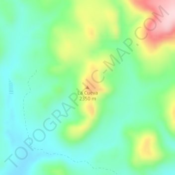
La Cueva topographic map
Interactive map
Click on the map to display elevation.
About this map
Name: La Cueva topographic map, elevation, terrain.
Location: La Cueva, Cuauhtémoc, Chihuahua, 31500, México (28.89627 -106.92428 28.89637 -106.92418)
Average elevation: 2,269 m
Minimum elevation: 2,190 m
Maximum elevation: 2,440 m