
沼津市 topographic map
Interactive map
Click on the map to display elevation.
About this map
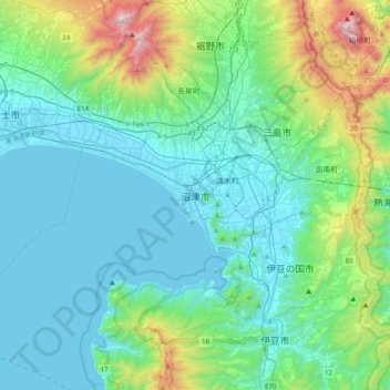
Name: 沼津市 topographic map, elevation, terrain.
Location: 沼津市, Numazu, Préfecture de Shizuoka, 410-0832, Japon (34.93470 138.70674 35.25470 139.02674)
Average elevation: 268 m
Minimum elevation: -1 m
Maximum elevation: 1,476 m