
Visso topographic map
Interactive map
Click on the map to display elevation.
About this map
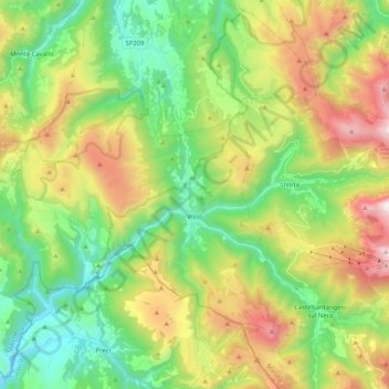
Name: Visso topographic map, elevation, terrain.
Location: Visso, MC, Marche, Italië (42.86858 12.94559 43.01068 13.15169)
Average elevation: 1,037 m
Minimum elevation: 441 m
Maximum elevation: 2,086 m