
Thank you for supporting this site ❤️
Make a donation
Make a donation
Hunter topographic map
Click on the map to display elevation.
Thank you for supporting this site ❤️
Make a donation
Make a donation
About this map
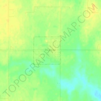
Name: Hunter topographic map, elevation, terrain.
Location: Hunter, Garfield County, Oklahoma, 74640, United States (36.55999 -97.66695 36.56736 -97.65797)
Average elevation: 334 m
Minimum elevation: 320 m
Maximum elevation: 343 m
Thank you for supporting this site ❤️
Make a donation
Make a donation
Other topographic maps
Click on a map to view its topography, its elevation and its terrain.