
Caluangan topographic map
Click on the map to display elevation.
About this map
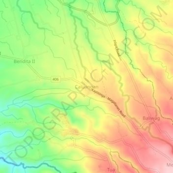
Name: Caluangan topographic map, elevation, terrain.
Location: Caluangan, Magallanes, Cavite, Calabarzon, 4113, Philippines (14.13366 120.75475 14.17366 120.79475)
Average elevation: 219 m
Minimum elevation: 121 m
Maximum elevation: 310 m