
Thank you for supporting this site ❤️
Make a donation
Make a donation
De Roond topographic map
Click on the map to display elevation.
Thank you for supporting this site ❤️
Make a donation
Make a donation
About this map
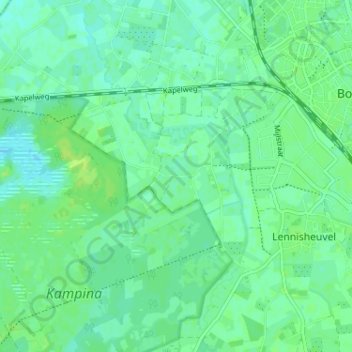
Name: De Roond topographic map, elevation, terrain.
Location: De Roond, Boxtel, Noord-Brabant, Nederland, 5281 SG, Nederland (51.55890 5.27218 51.59890 5.31218)
Average elevation: 9 m
Minimum elevation: 3 m
Maximum elevation: 15 m
Thank you for supporting this site ❤️
Make a donation
Make a donation
Other topographic maps
Click on a map to view its topography, its elevation and its terrain.