
Thank you for supporting this site ❤️
Make a donation
Make a donation
Teso North topographic map
Click on the map to display elevation.
Thank you for supporting this site ❤️
Make a donation
Make a donation
About this map
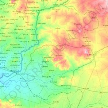
Name: Teso North topographic map, elevation, terrain.
Location: Teso North, Busia County, Western, Kenya (0.57342 34.21654 0.77597 34.43494)
Average elevation: 1,287 m
Minimum elevation: 1,126 m
Maximum elevation: 1,542 m
Thank you for supporting this site ❤️
Make a donation
Make a donation