
Thank you for supporting this site ❤️
Make a donation
Make a donation
Dusk topographic map
Click on the map to display elevation.
Thank you for supporting this site ❤️
Make a donation
Make a donation
About this map
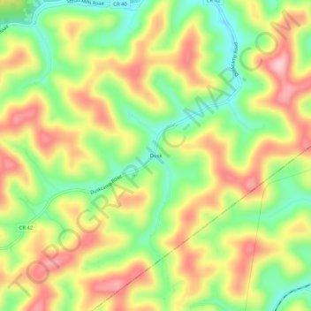
Name: Dusk topographic map, elevation, terrain.
Location: Dusk, Gilmer County, West Virginia, 26430, United States (38.84398 -80.77121 38.88398 -80.73121)
Average elevation: 323 m
Minimum elevation: 230 m
Maximum elevation: 419 m
Thank you for supporting this site ❤️
Make a donation
Make a donation
Other topographic maps
Click on a map to view its topography, its elevation and its terrain.