
Springfield Lakes topographic map
Click on the map to display elevation.
About this map
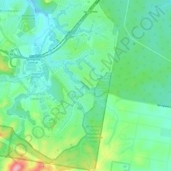
Name: Springfield Lakes topographic map, elevation, terrain.
Location: Springfield Lakes, Ipswich City, Queensland, Australia (-27.70820 152.89436 -27.65782 152.93139)
Average elevation: 78 m
Minimum elevation: 31 m
Maximum elevation: 201 m