
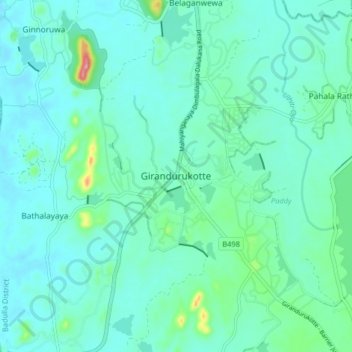
Girandurukotte topographic map
Interactive map
Click on the map to display elevation.
Girandurukotte topographic map, elevation, terrain
About this map
Name: Girandurukotte topographic map, elevation, terrain.
Location: Girandurukotte, Badulla District, Uva Province, Sri Lanka (7.42936 80.97530 7.50936 81.05530)
Average elevation: 96 m
Minimum elevation: 71 m
Maximum elevation: 227 m