
Thank you for supporting this site ❤️
Make a donation
Make a donation
Swanson topographic map
Click on the map to display elevation.
Thank you for supporting this site ❤️
Make a donation
Make a donation
About this map
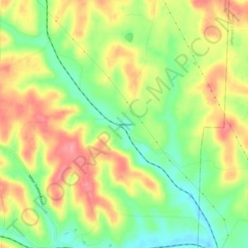
Name: Swanson topographic map, elevation, terrain.
Location: Swanson, Harrison County, Ohio, 43976, United States (40.35979 -80.90842 40.39979 -80.86842)
Average elevation: 342 m
Minimum elevation: 295 m
Maximum elevation: 389 m
Thank you for supporting this site ❤️
Make a donation
Make a donation