
Hawarden topographic map
Click on the map to display elevation.
About this map
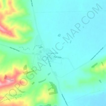
Name: Hawarden topographic map, elevation, terrain.
Location: Hawarden, Hurunui District, Canterbury, 7348, New Zealand (-42.94226 172.62455 -42.90226 172.66455)
Average elevation: 273 m
Minimum elevation: 229 m
Maximum elevation: 420 m
Canterbury trails, hiking, mountain biking, running and outdoor activities