
Erwitte topographic map
Interactive map
Click on the map to display elevation.
About this map
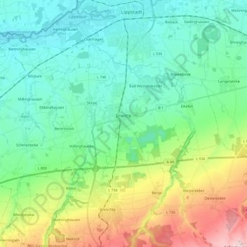
Name: Erwitte topographic map, elevation, terrain.
Location: Erwitte, Kreis Soest, North Rhine-Westphalia, 59597, Germany (51.57110 8.20007 51.64798 8.43138)
Average elevation: 135 m
Minimum elevation: 68 m
Maximum elevation: 320 m