
Kot Fateh Khān topographic map
Interactive map
Click on the map to display elevation.
About this map
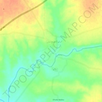
Name: Kot Fateh Khān topographic map, elevation, terrain.
Location: Kot Fateh Khān, District Attock, Punjab, Pakistan (33.43927 72.48674 33.47927 72.52674)
Average elevation: 448 m
Minimum elevation: 426 m
Maximum elevation: 470 m