
Elberta topographic map
Interactive map
Click on the map to display elevation.
About this map
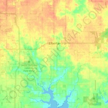
Name: Elberta topographic map, elevation, terrain.
Location: Elberta, Baldwin County, Alabama, United States (30.33430 -87.62396 30.46785 -87.52738)
Average elevation: 19 m
Minimum elevation: -2 m
Maximum elevation: 35 m