
Stongfjorden topographic map
Interactive map
Click on the map to display elevation.
About this map
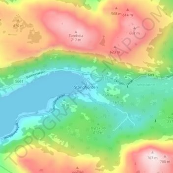
Name: Stongfjorden topographic map, elevation, terrain.
Location: Stongfjorden, Askvoll, Vestland, Norway (61.40796 5.14822 61.44796 5.18822)
Average elevation: 314 m
Minimum elevation: 0 m
Maximum elevation: 765 m