
Pinzolo topographic map
Interactive map
Click on the map to display elevation.
About this map
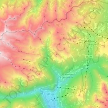
Name: Pinzolo topographic map, elevation, terrain.
Average elevation: 1,925 m
Minimum elevation: 752 m
Maximum elevation: 3,299 m
Pinzolo is a small town and comune situated in Val Rendena in Trentino in the northern Italian Alps at an elevation of 800 metres (2,600 ft). The Church of Saint Vigilius of Trent stands in the town.