
Whitehorse topographic map
Interactive map
Click on the map to display elevation.
About this map
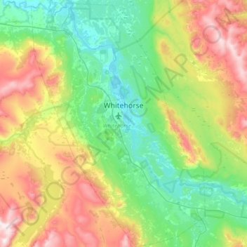
Name: Whitehorse topographic map, elevation, terrain.
Location: Whitehorse, Yukon, Canada (60.55364 -135.27872 60.84619 -134.85673)
Average elevation: 1,007 m
Minimum elevation: 629 m
Maximum elevation: 1,857 m