
Matsudo topographic map
Interactive map
Click on the map to display elevation.
About this map
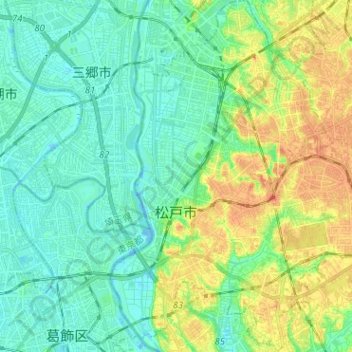
Name: Matsudo topographic map, elevation, terrain.
Location: Matsudo, Chiba Prefecture, Kanto, Japan (35.74672 139.87939 35.84977 140.00136)
Average elevation: 13 m
Minimum elevation: -7 m
Maximum elevation: 37 m
Other topographic maps
Click on a map to view its topography, its elevation and its terrain.