
Mandia topographic map
Interactive map
Click on the map to display elevation.
About this map
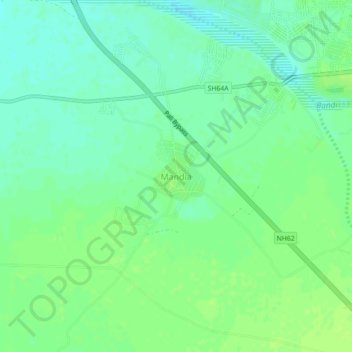
Name: Mandia topographic map, elevation, terrain.
Location: Mandia, Pali Tehsil, Pali, Rajasthan, India (25.73981 73.25717 25.77981 73.29717)
Average elevation: 212 m
Minimum elevation: 205 m
Maximum elevation: 217 m