
Freideron topographic map
Interactive map
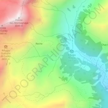
Click on the map to display elevation.
About this map
Name: Freideron topographic map, elevation, terrain.
Location: Freideron, Reche, Nus, Valle d'Aosta, Italië (45.82974 7.49153 45.84974 7.51153)
Average elevation: 2,378 m
Minimum elevation: 1,922 m
Maximum elevation: 3,037 m