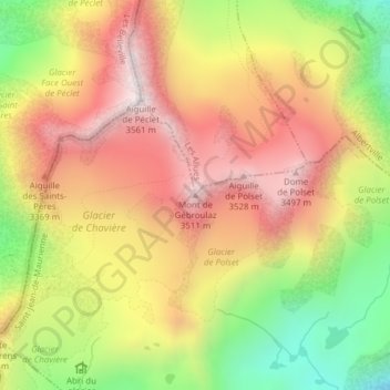
Mont de Gébroulaz topographic map
Interactive map
Click on the map to display elevation.
About this map
Name: Mont de Gébroulaz topographic map, elevation, terrain.
Average elevation: 3,138 m
Minimum elevation: 2,658 m
Maximum elevation: 3,533 m

Click on the map to display elevation.
Name: Mont de Gébroulaz topographic map, elevation, terrain.
Average elevation: 3,138 m
Minimum elevation: 2,658 m
Maximum elevation: 3,533 m