
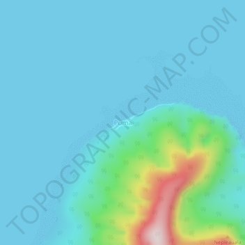
Puma topographic map
Interactive map
Click on the map to display elevation.
Puma topographic map, elevation, terrain
About this map
Name: Puma topographic map, elevation, terrain.
Location: Puma, Temotu, Solomon Islands (-11.63352 166.94891 -11.59352 166.98891)
Average elevation: 65 m
Minimum elevation: -2 m
Maximum elevation: 482 m