
Dans topographic map
Interactive map
Click on the map to display elevation.
About this map
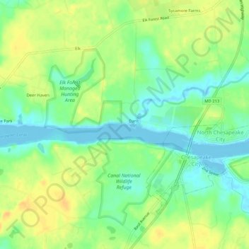
Name: Dans topographic map, elevation, terrain.
Location: Dans, Cecil, Maryland, 21519, USA (39.51289 -75.84744 39.55289 -75.80744)
Average elevation: 14 m
Minimum elevation: -3 m
Maximum elevation: 28 m