
El Tejero topographic map
Interactive map
Click on the map to display elevation.
About this map
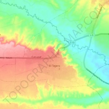
Name: El Tejero topographic map, elevation, terrain.
Average elevation: 197 m
Minimum elevation: 139 m
Maximum elevation: 274 m
Other topographic maps
Click on a map to view its topography, its elevation and its terrain.
Punta de Mata
Venezuela > Estado Monagas > Municipio Ezequiel Zamora
Punta de Mata, Parroquia Punta de Mata, Municipio Ezequiel Zamora, Estado Monagas, 6217, Venezuela
Average elevation: 203 m