
Thank you for supporting this site ❤️
Make a donation
Make a donation
Ostafa Desot topographic map
Click on the map to display elevation.
Thank you for supporting this site ❤️
Make a donation
Make a donation
About this map
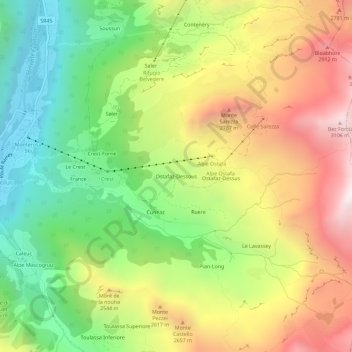
Name: Ostafa Desot topographic map, elevation, terrain.
Location: Ostafa Desot, Ayas, Aosta Valley, 11020, Italy (45.81228 7.73557 45.85228 7.77557)
Average elevation: 2,275 m
Minimum elevation: 1,566 m
Maximum elevation: 3,146 m
Thank you for supporting this site ❤️
Make a donation
Make a donation