
Slope County topographic map
Interactive map
Click on the map to display elevation.
Slope County
White Butte, the highest natural point in North Dakota at an elevation of 3506 ft (1062 m), is in southeast Slope County.
About this map
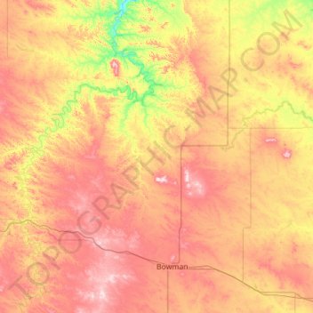
Name: Slope County topographic map, elevation, terrain.
Location: Slope County, North Dakota, United States (46.27931 -104.04610 46.63102 -102.92453)
Average elevation: 860 m
Minimum elevation: 700 m
Maximum elevation: 1,049 m