
Tenancingo topographic map
Interactive map
Click on the map to display elevation.
About this map
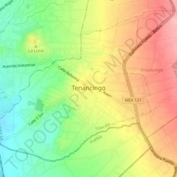
Name: Tenancingo topographic map, elevation, terrain.
Location: Tenancingo, Tlaxcala, México (19.13270 -98.22457 19.16082 -98.18826)
Average elevation: 2,248 m
Minimum elevation: 2,183 m
Maximum elevation: 2,314 m