
Thank you for supporting this site ❤️
Make a donation
Make a donation
Clover topographic map
Click on the map to display elevation.
Thank you for supporting this site ❤️
Make a donation
Make a donation
About this map
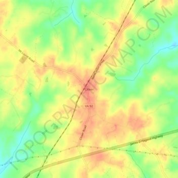
Name: Clover topographic map, elevation, terrain.
Location: Clover, Halifax County, Virginia, 24534, United States (36.81264 -78.75334 36.85264 -78.71334)
Average elevation: 136 m
Minimum elevation: 108 m
Maximum elevation: 155 m
Thank you for supporting this site ❤️
Make a donation
Make a donation