
Santafé topographic map
Interactive map
Click on the map to display elevation.
About this map
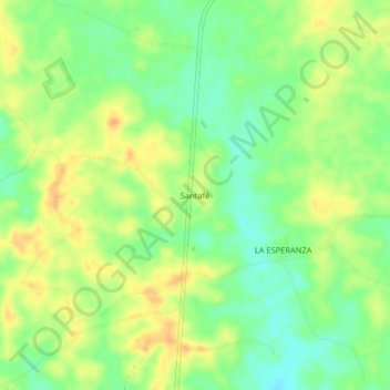
Name: Santafé topographic map, elevation, terrain.
Location: Santafé, Centro, Córdoba, Colombia (8.51261 -75.92155 8.55261 -75.88155)
Average elevation: 62 m
Minimum elevation: 44 m
Maximum elevation: 79 m