
Judson topographic map
Interactive map
Click on the map to display elevation.
About this map
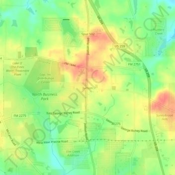
Name: Judson topographic map, elevation, terrain.
Location: Judson, Gregg County, Texas, 75660, United States (32.56259 -94.77319 32.60259 -94.73319)
Average elevation: 120 m
Minimum elevation: 92 m
Maximum elevation: 147 m